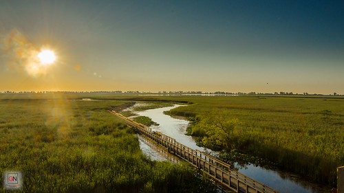
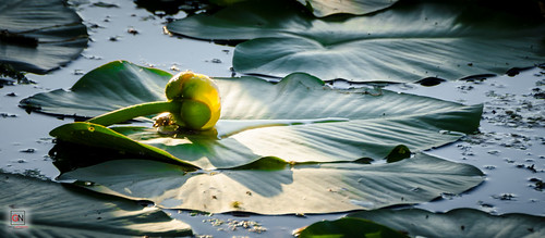
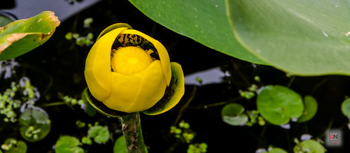
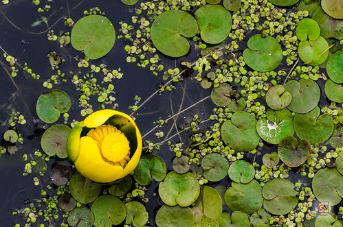
I love fall because of the moderate temperatures and the changing of colours. Here are some of what I captured – old and new. The first few locations are taken in Hamilton and it is known as the Waterfall Capital of the World. While I’ve only been to a handful, I hope to see more in the next few weeks while the weather is great. Many of these trails are located along the Bruce Trail which run about 900km from the Niagara Escarpment to Tobermory.
Tiffany Falls
 //embedr.flickr.com/assets/client-code.js
 //embedr.flickr.com/assets/client-code.js
 //embedr.flickr.com/assets/client-code.js
 //embedr.flickr.com/assets/client-code.js
 //embedr.flickr.com/assets/client-code.js
Devil’s Punch Bowl
 //embedr.flickr.com/assets/client-code.js
< //embedr.flickr.com/assets/client-code.js
 //embedr.flickr.com/assets/client-code.js
Albion Falls
 //embedr.flickr.com/assets/client-code.js
 //embedr.flickr.com/assets/client-code.js
 //embedr.flickr.com/assets/client-code.js
 //embedr.flickr.com/assets/client-code.js
 //embedr.flickr.com/assets/client-code.js
 //embedr.flickr.com/assets/client-code.js
Rattlesnake Point (Milton)
 //embedr.flickr.com/assets/client-code.js
Springridge Farm (Milton)
 //embedr.flickr.com/assets/client-code.js
 //embedr.flickr.com/assets/client-code.js
 //embedr.flickr.com/assets/client-code.js
 //embedr.flickr.com/assets/client-code.js
 //embedr.flickr.com/assets/client-code.js
Chudleigh’s Farm (Milton)
 //embedr.flickr.com/assets/client-code.js
 //embedr.flickr.com/assets/client-code.js
 //embedr.flickr.com/assets/client-code.js
 //embedr.flickr.com/assets/client-code.js
 //embedr.flickr.com/assets/client-code.js
 //embedr.flickr.com/assets/client-code.js
Riverwood Conservancy (Mississauga)